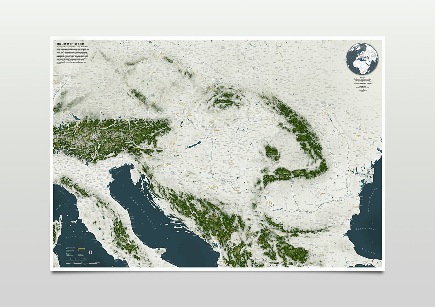
Danube river basin - Map
This large-format map shows the territory covered by the Danube basin, the second longest river in Europe. A large and historically important river, it was once a frontier of the Roman Empire. In the 21st century, it connects ten European countries, running through their territories or marking a border. Originating in Germany, the Danube flows southeast for 2,850 km (1,770 mi), passing through or bordering Austria, Slovakia, Hungary, Croatia, Serbia, Romania, Bulgaria, Moldova, and Ukraine. Among the many cities on the river are four national capitals: Vienna, Bratislava, Budapest, and Belgrade. Its drainage basin amounts to 817,000 km² and extends into nine more countries.
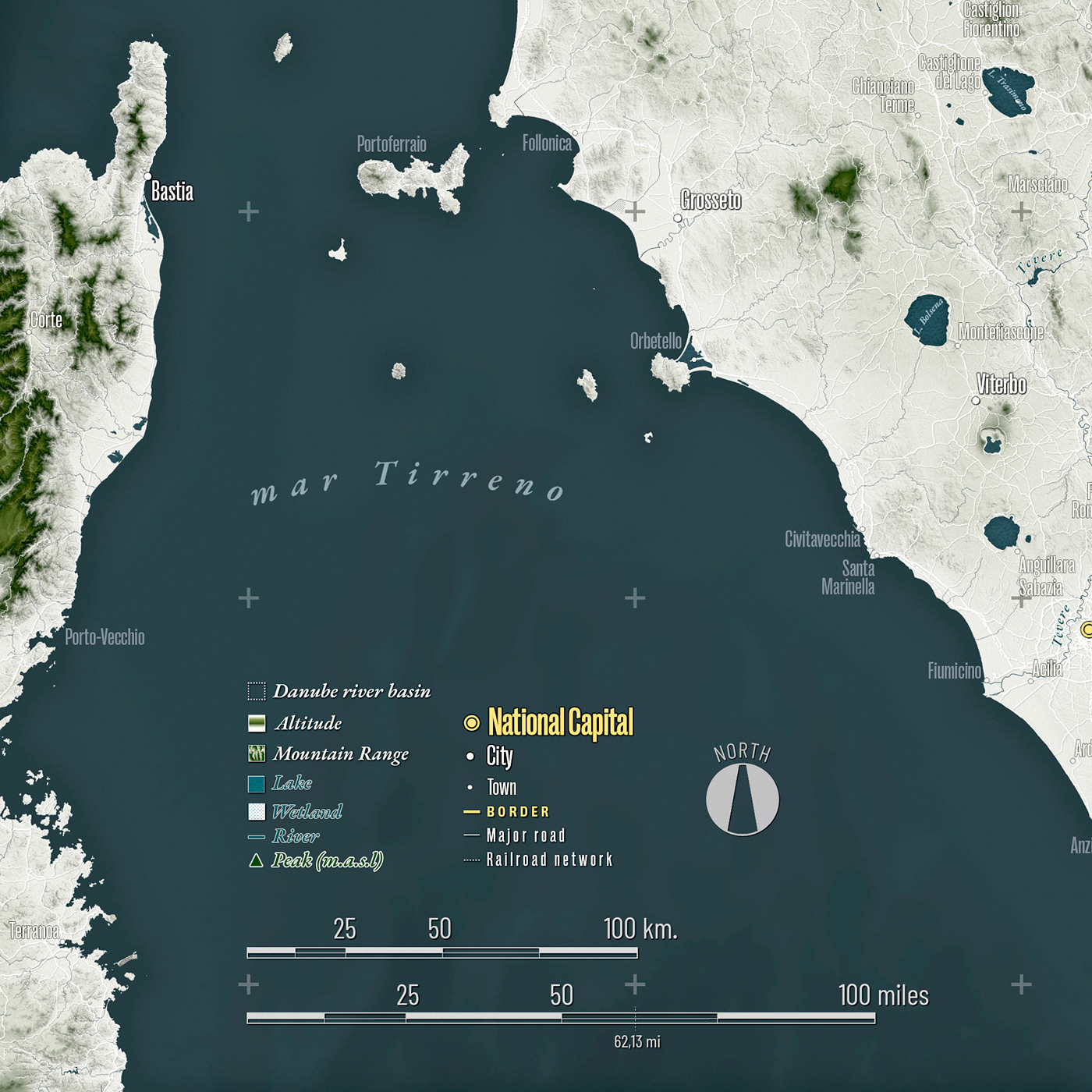
I made this map using:
QGIS to generate the hillshade map, export the relief layers, hydrography, some of the labels, etc.;
Adobe Illustrator for the labels of countries, rivers, roads, towns and villages.
and Adobe Photoshop to merge everything, adjust colours, lights, etc.
and Adobe Photoshop to merge everything, adjust colours, lights, etc.